


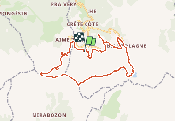

11.1 km | 21 km-effort

User


FREE GPS app for hiking
 SityTrail
IGN / Geographical institutes
SityTrail World
The world is yours!
Trail Mountain bike of 21 km to be discovered at Auvergne-Rhône-Alpes, Savoy, La Plagne-Tarentaise. This trail is proposed by tracegps.
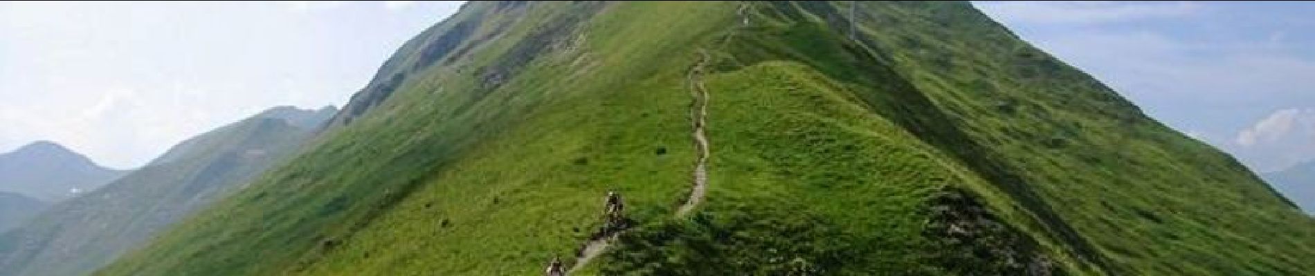
26 Juillet 2005 Première sortie, nous ne sommes pas encore habitués à la lecture des cartes en montagne, je trace un parcours certes avec des crêtes magnifiques mais plus adapté à la marche à pied qu'au VTT ! Tout est ICI


On foot

On foot

On foot

On foot

On foot

On foot

On foot

Walking
Walking